What Is Bird Banding?
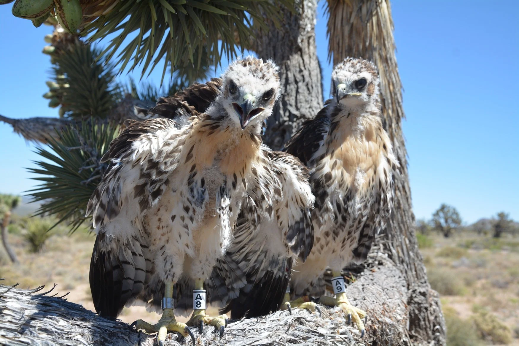
Photo Credit: Pete Bloom (all rights reserved)
Bird banding/tagging is one of the best (cost-effective) ways researchers have to be able to identify individual birds over time, allowing for the rare opportunity to collect critical long-term data of a species. Satellite trackers can provide more data, possibly in real-time, but they are very expensive and are not typically feasible for large-scale projects.
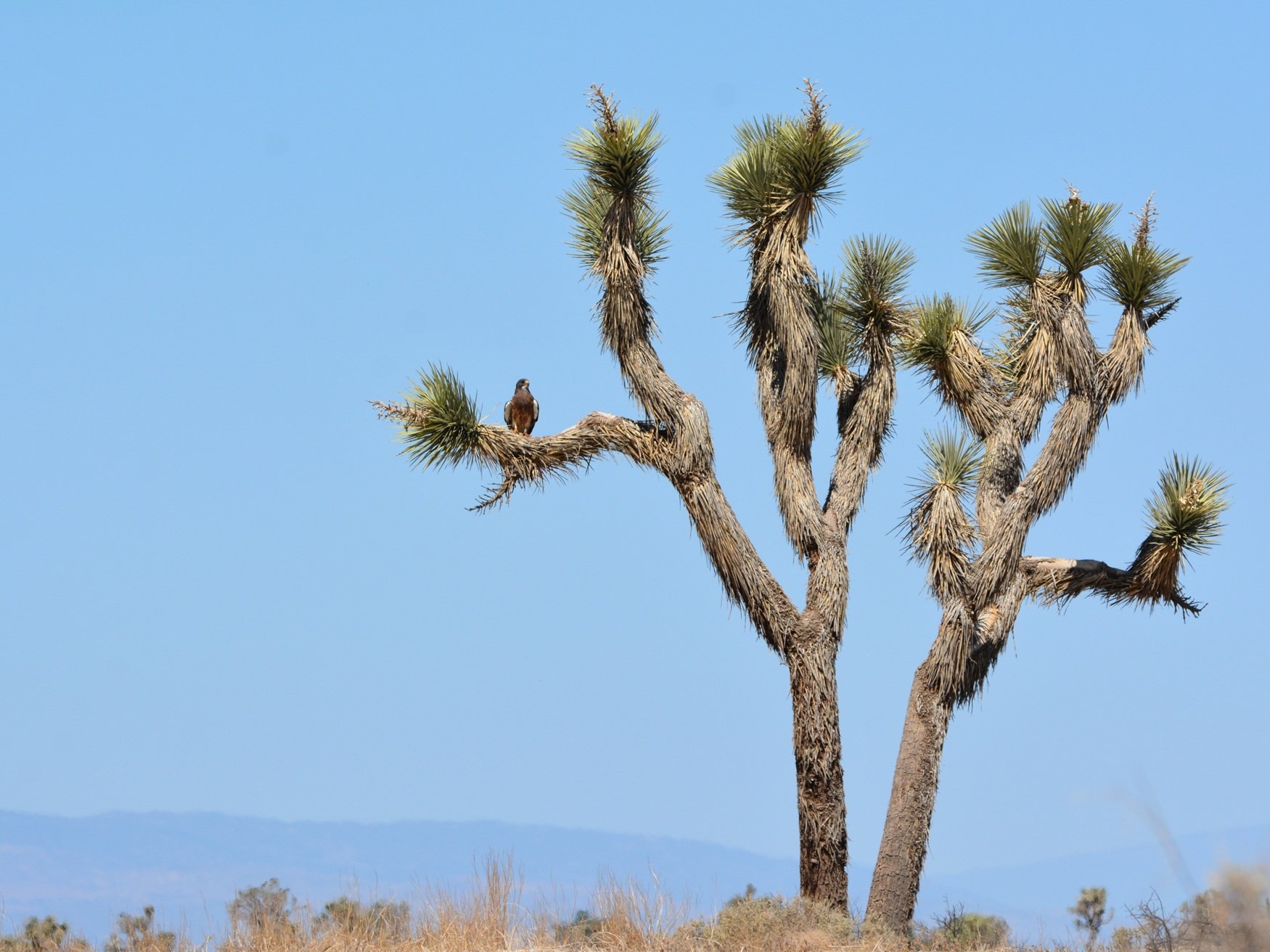
Utilizing data from people reporting encounters (resights) of a banded or tagged bird, biologists can begin to understand, for both the individual as well as overall populations of the species, where they forage for food, where they nest, where and when they migrate, or if they migrate at all. They can also analyze things like longevity, philopatry, and natal dispersal.
The data can also be used to inform developers and land stewards about the density of a population, land/habitat use, and ecological importance of the species. A greater understanding of the birds’ needs can allow policy makers to better implement conservation efforts and to minimize population declines.
Bird researchers may obtain a banding permit from the USGS Bird Banding Lab (BBL) once they have apprenticed under a Master Bander and have shown sufficient proficiency. Permitted banders can request free metal leg bands issued by the BBL; the size and associated band number are based on species.
Permitted banders may also request authorization to use colored leg bands and/or patagial tags, which would then be acquired by the bander at their own expense.
When people see a marked bird (USGS metal band, color band, wing tag, etc.), they can report their encounter to the BBL (www.reportband.gov), and the appropriate bander will receive a copy of their report. The BBL maintains the centralized database of all birds marked for authorized research in the United States - submitting encounters to them ensures the correct researcher receives the resight data, and it also ensures that the data can be accessed by other researchers in the future.
Have you seen a bird with a color band or wing tag in central or southern California? After you have reported your sighting to the BBL, feel free to send us a message - if it was a bird banded under Pete Bloom’s permit, we will try to respond with some additional details of the bird’s history. Any photos you would like to include are always helpful as well.
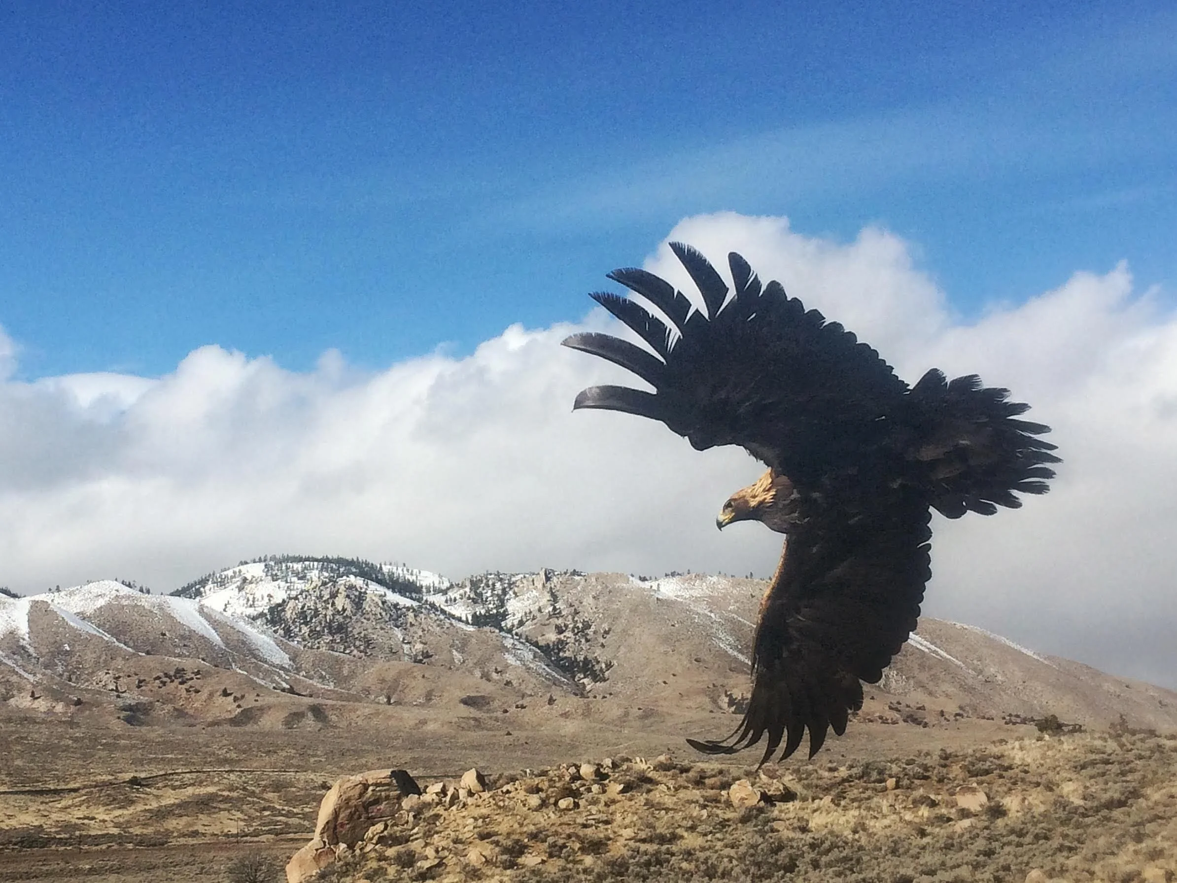
Pete Bloom holds all the necessary State & Federal permits and authorizations required to capture and band birds in the western U.S., including threatened and endangered species such as Bald and Golden Eagles.
How Has Bloom’s Raptor Research Made an Impact in Conservation Efforts? A few examples:
Swainson’s Hawk ground surveys throughout California in 1979 revealed an inferred 90% decline of the species statewide, with an estimated population of 375 pairs remaining. This study has been cited continuously by Swainson’s Hawk researchers since it was published. Pete Bloom continues to monitor and publish data on Swainson’s Hawks in CA.
Large-scale research on California Condors and Golden Eagles aided in the preservation of over 240,000 acres of Tejon Ranch, including consultation on how to preserve habitat.
Compliance within green energy management - Surveys for eagles and California Condors were completed at operational solar and wind plants. Detailed data and flight paths were recorded for all sensitive species detected, and radio tracking devices were utilized daily.
Improved nesting success - Annual nesting raptor surveys are conducted within the Irvine Ranch Conservancy’s wildlands (Orange County, CA) to identify sensitive nesting territories as well as inform rangers and conservancy personnel of potential disturbances by the public during the nesting season.
A raptor status and management plan was developed for Seal Beach Naval Weapons Station and Fallbrook Detachment.
Home Range Assessment and Post-fire Monitoring of Coastal California Gnatcatchers were initiated at Marine Corp Base Camp Pendleton.
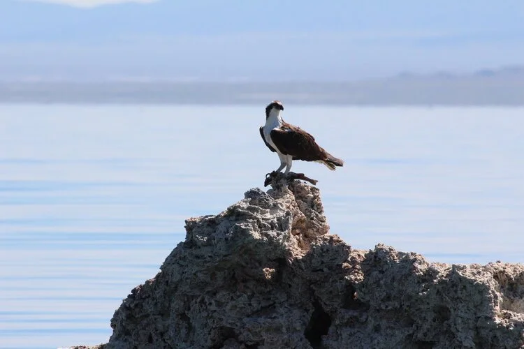
Nest surveys and banding of Osprey chicks at Mono Lake since 2008 has contributed to a 20+ year CA State Parks project to document the occupancy, productivity and habitat use of this unique population.
Photo Credits: Pete Bloom (all rights reserved)
Are you part of an agency or conservation organization that would like to discuss collaboration or consultation from Dr. Pete Bloom? Please contact us here - we look forward to hearing from you!
If you would like to donate to our conservation and research efforts, please click the button below - you have our utmost appreciation!